Here is a link to a satellite image of this area.

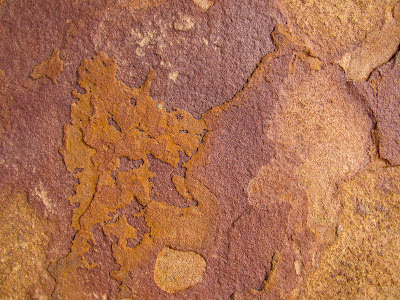
 Embedded in the sandstone are these hard, rounded rocks.
 With erosion, the rocks eventually fall out, and birds make their nests there.

 Above is just one of the dried stream beds which run from the old US-20/26 (see photograph below) toward the new highway.
  Here is what the stream bed looks like as it extends northward on the other side of the old highway.


 The shot below looks south at the newer highway.


 I took this shot to show one of the many enormous ant hills:

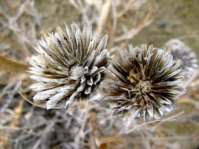
 In this semi-arid climate, it is interesting to see what grows on the rocks.


 Below, in the foreground, is an interesting example of the sandstone underneath with two of the harder, round rocks resting on top and leaning against one another.
 As we walked back to the car, I snapped this final shot.
link: index to photographs

1 comment:
Nice blog! My father grew up in the Riverton WY area. We used to visit Hell's Half Acre every time we went back to visit friends and familyl Sad to see that the restaurant/snack/souvenir shop have been torn down. Thermopolis was always a favorite place to visit and still is!
Post a Comment