
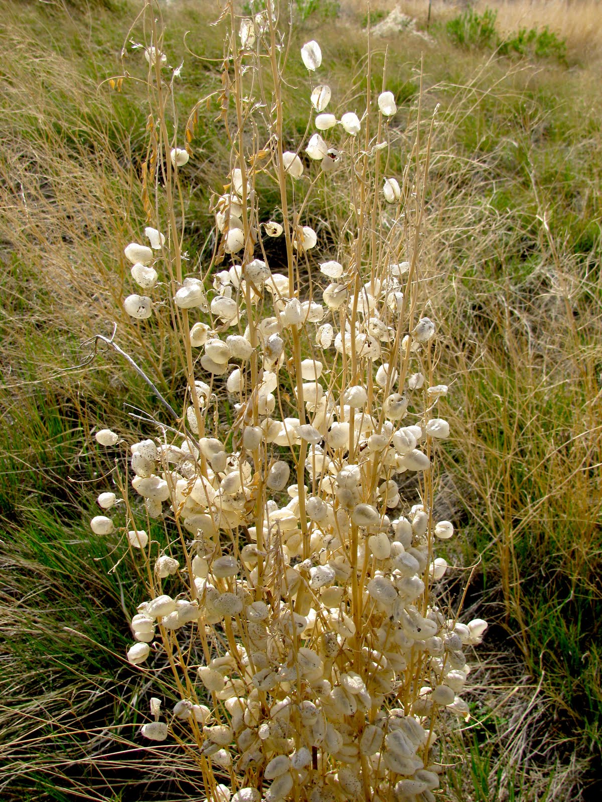
A mile or so north of the Worland cemetery on WY-433 is the interpretive natural area pictured below. And that is where we took Grandma for a picnic and to get away from TV's Animal Planet which she so enjoys.

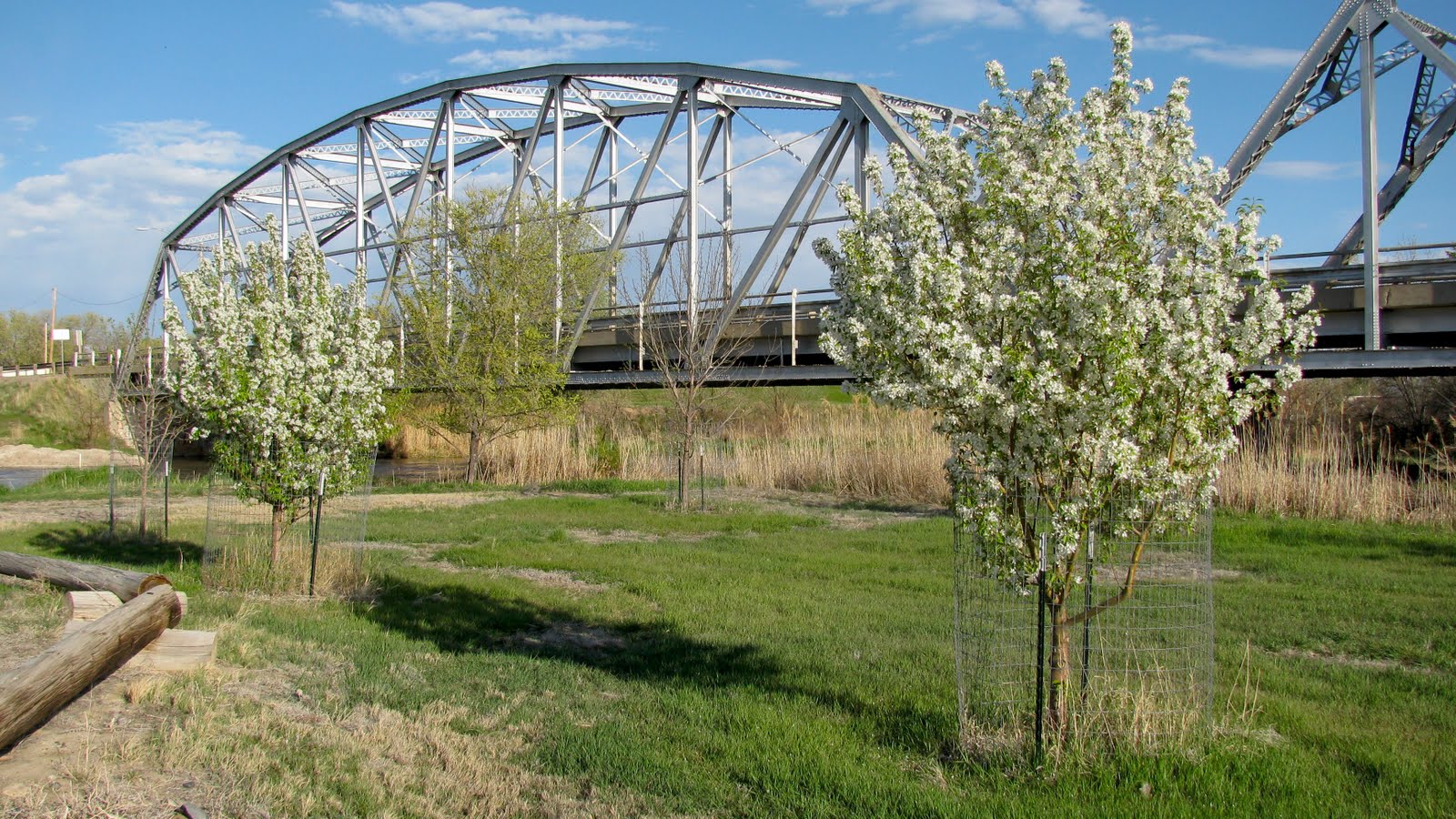
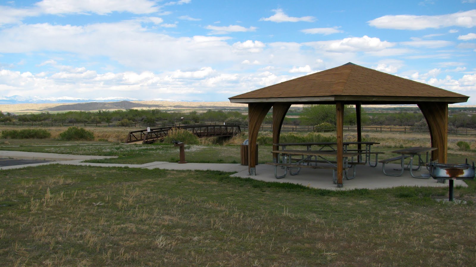 This is the bridge across the irrigation canal:


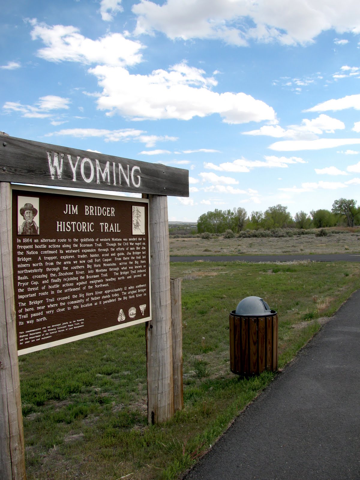
 The historical marker below, found at the above location, reads:
JIM BRIDGERHISTORIC TRAILIn 1864 an alternate route to the goldfields of western Montana was needed due to frequent hostile actions along the Bozeman Trail. Though the Civil War raged on, the Nation continued its westward expansion through the efforts of men like Jim Bridger. A trapper, explorer, trader, hunter, scout and guide, Jim Bridger led miners north from the area we now call Fort Caspar. From there the trail led northwesterly through the southern Big Horn Mountains, across the Big Horn Basin, crossing the Shoshone River, into Montana through what was known as Pryor Gap, and finally rejoining the Bozeman Trail. The Bridger Trail reduced the threat of hostile actions against emigrants heading north and proved an important route in the settlement of the Northwest.The Bridger Trail crossed the Big Horn River approximately 12 miles southwest of here, near where the community of Neiber stands today. The original Bridger Trail passed very close to this location as it paralleled the Big Horn River on its way north.
 close-ups of the sign above:
 Click on the map to enlarge it:
 roadkill on the highway just as we turned out of the parking lot:
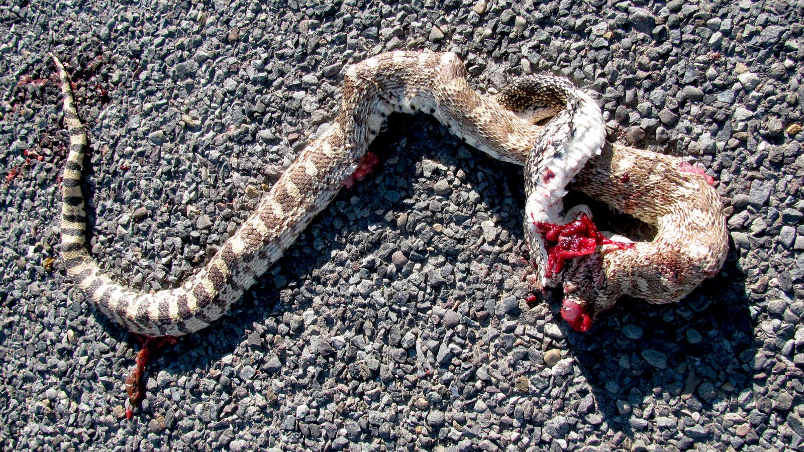
 Just before getting to the cemetery, I stopped to admire the folk art above. On the other side of the road is this typical front yard scene:
 In the photograph below, I am standing on US-20 which crosses over the Big Horn River and enters into Worland from the west (driving north from Thermop). The bridge in the background used to be the main entrance.


 Looking south from the old bridge is this scene:
 Here is another perspective on the above, but looking north (photographed on April 28, 2010).
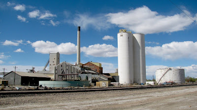
Just after crossing the bridge and coming into the residential area of Worland, is this house. Its brilliant green in the evening sun made it unique and stunning.
 We drove into downtown Worland to see how the trees were progressing in this beautiful spring weather. Here is a shot of City Hall from the park:
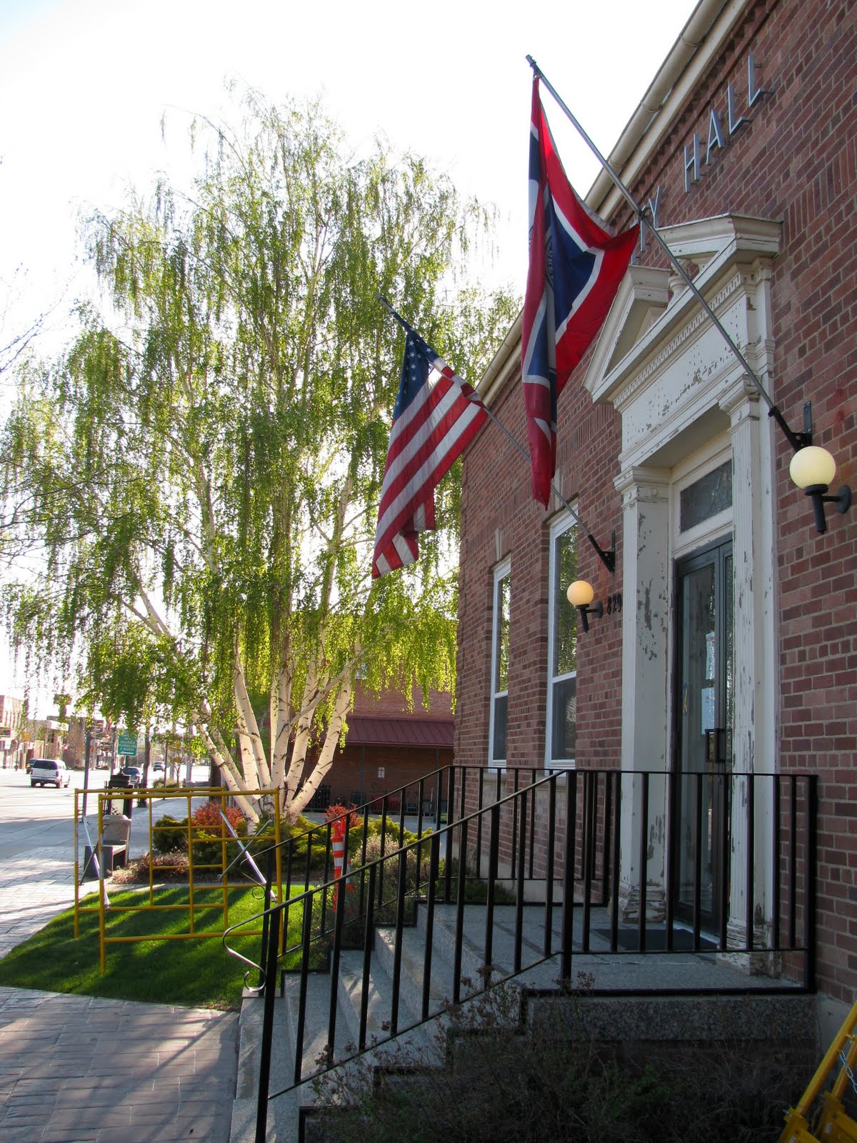 The City Hall, above, used to be the Post Office as the marker below indicates.
 Here is the current United States Post Office:
 Because of the evening sun, I took the shot below of the Post Office. Note the ubiquitous white pickup driven by so many men here in Wyoming.
 Across from the alley of the City Park (above), in the rear of a motel, I found this 1955? Packard Clipper. It is in need of help, but it could be a real gem.
 Note the "clipper" sailing motif in the next two shots:
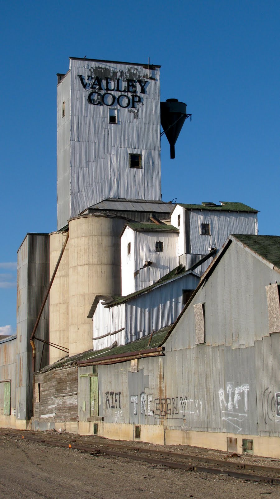
 the Valley Coop:
Earlier in the day, we stopped to see these historical markers on the outskirts of Worland:
 The above reads:
WORLAND SUGAR FACTORYThe Hanover Canal System, an irrigation project funded by J.W. Pulliam and his family, was completed in the Big Horn Basin in 1905, bringing settlers to Worland. Soon after the close of the project, which included the Big Horn Canal, Pulliam planted 600 acres of sugar beets and grain as a pilot project. His venture marked the first time sugar beets were planted in the Big Horn Basin. By 1909, growers in the area were under contract to cultivate sugar beets, which were then sent by rail to Billings, Montana.The Wyoming Sugar Company of Ogden, Utah, announced its plan to construct a beet sugar factory in Worland in 1916. 150 men finished the $1 million factory in just one year. Despite concerns about delays in beet shipments caused by slow railroad construction and a shortage of cars, the factory was completed on schedule. The Wyoming Sugar Company's president, J.M. Eccles, opened its doors on October 17, 1917. The first day of operations the factory sliced 260 tons of beets. Workers lived in row houses built by the company. Known as "sugar tramps," they were mostly young Mormons, along with families from Japan, Russia, Germany and Mexico.Holly Sugar Corporation acquired the Worland factory in 1925. By 1939, the beet receiving station was equipped to handle more than 70,000 tons of beets, making it the largest in the world at the time. In the early years, sugar beets were topped by hand, but by the 1950s and 1960s machine harvesting took over in the beet fields. When Holly Sugar Corporation announced in 2001 that the factory would close its doors, local growers, landowners, and business people in the Big Horn Basin and Fremont County formed a cooperative to purchase the factory. Under management by the newly formed cooperative, the factory was renamed the Wyoming Sugar Company in 2002.
 The sign below reads:
WORLAND: ORIGINAL TOWN SITEThe frontier settlement of Worland was originally located near the mouth of Fifteen Mile Creek on the west bank of the Big Horn River. It grew around a stage coach station established in 1900 by Charles H. "Dad" Worland on the old Bridger Trail, an 1864 wagon road connecting the Oregon Trail with new gold fields in southwestern Montana.By the time "Dad" Worland opened his station, the Bridger Trail had evolved into a dusty country road serving the newly established farming and ranching communities in the Big Horn Basin. In 1903, survey work began on major irrigation projects in the region. Ditches were dug and Big Horn River water was diverted to irrigate the dry desert landscape. Sugar beets were the crop of choice. Much of this activity centered from Worland's sister community of Hanover on the east bank of the river.With the construction of these irrigation projects, Worland quickly grew into a small town with a bright agricultural future. In 1905 regional promoters convinced the Burlington Railroad and Lincoln Land Company to build south into the Big Horn Basin from Montana. Construction began early fall with tracks being laid on the east bank of the Big Horn River. To accommodate the location of the incoming railroad, Worland's citizens hoisted their homes, offices, business buildings, church, and school onto log skids and "slid" them across the frozen river during the winter of 1905-1906. These buildings were then placed along the newly surveyed, named and numbered streets.
 See also Worland, WY, part 1.
link: index to photographs

2 comments:
I think your blog should be on a website that will attract people to come to Wyoming. You could market yourself..heh heh
I perfectly agree with Sunshine.
Post a Comment